Google wants to take you up Mont Blanc with Street View

Google is using Street View to take the general public to places they've never visited before, and we're not talking about human settlements here. The latest to be explored by the company's interactive exploration platform is Mont Blanc, which features one of Europe's highest peaks.
"By working with legendary adventurers, the Street View team was able to capture the spirit of the massif in a way few witness firsthand. Run on the summit with Kilian Jornet—he holds the speed record for ascending and descending Mont Blanc in just 4 hours 57 minutes! Ice climb up a serac with record-setting alpine climber Ueli Steck, or go knee deep in powder alongside 14-time ski mountaineering champion Laetitia Roux and famed guide Patrick Gabarrou."
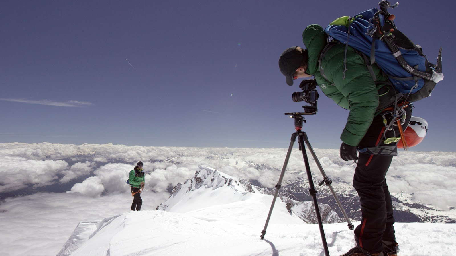
Google opted to not only work with climbing and mountaineering experts, but also acclaimed cinematographer Renan Ozturk, alpine photographer Jonathan Griffith, and Sender Films. By checking out Mont Blanc on Street View, you'll be able to experience both the climb and descent, all from the comforts of your own home.
Experience Mont Blanc on Street View
Source: Google
Get the latest news from Android Central, your trusted companion in the world of Android

