Google Maps can now tell you how crowded your transit line is in real-time

What you need to know
- Google Maps can now provide live crowdedness information globally.
- Users can see how crowded their bus or subway line is right now, thanks to real-time feedback from Google Maps users.
- Google is also finally rolling out the highly-anticipated Assistant Drive Mode for Maps.
Google has rolled out several major updates to Maps this year, with an aim to help people around the world adapt to the new normal. Google today announced a bunch of new updates to Google Maps that will help users around the world get around safely this holiday season.
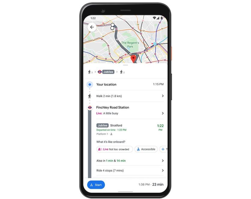
Google Maps can now help you avoid holiday crowds when getting around with live crowdedness information. In the coming weeks, you'll start seeing how crowded your bus, train, or subway line is on both Android and iOS, based on real-time feedback from Google Maps users.

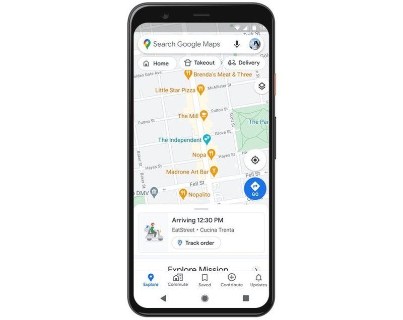
Aside from seeing how crowded your transit line is in real-time, you can also now view the live status of your takeout and delivery orders in the U.S., Canada, Germany, Australia, Brazil, and India when booking orders from Google Maps. Additionally, you'll be able to quickly see expected wait times and delivery fees for your orders.

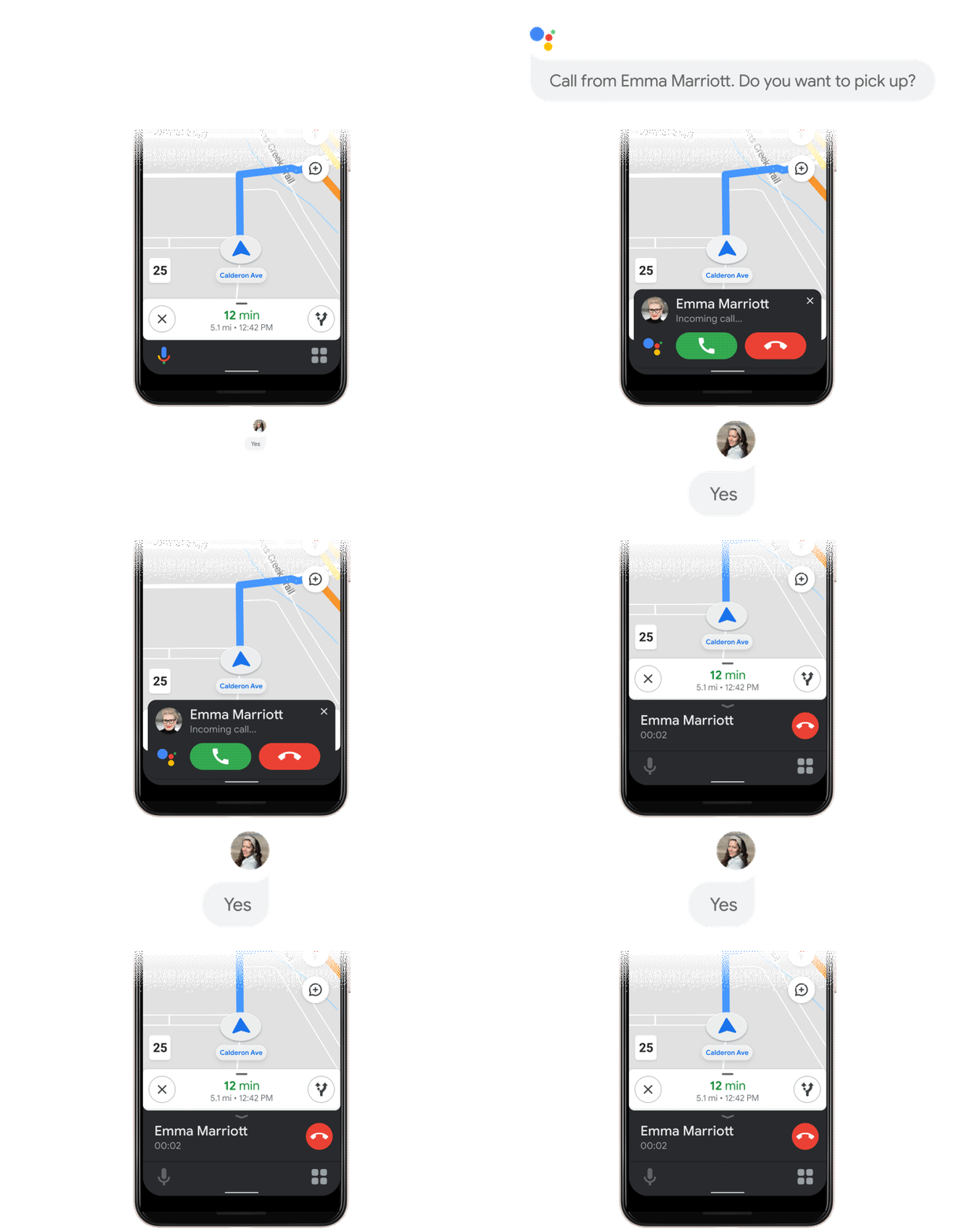
Google is also rolling out an early preview of the Google Assistant driving mode in Maps, which was showcased at I/O 2019. Initially, the feature will only be available to Android users in English in the U.S. The Google Assistant Driving mode will replace the Android Auto app on phones. Once enabled, the driving mode will bring up a dashboard with navigation, messaging, calling, and media. To get started, all you need to do is tap on the pop up after you begin navigating to a destination with Google Maps. You can also head over to Assistant settings > Getting around > Drive mode to turn it on.
Get the latest news from Android Central, your trusted companion in the world of Android

