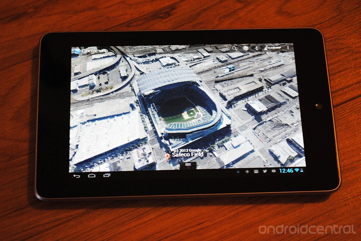
Back in June Google announced they would be improving Google Earth substantially by adding 3D mapping to the mix and we even managed to get a good look at it during Google I/O. Now, only a few short months later Google has managed to add Denver, Colorado and Seattle, Washington as destinations that you can view on Google Earth in 3D. All the work is done using advanced image processing and 45-degree aerial imagery as noted on the Google Lat Long blog. The data is live and viewable right now, if you want to take a fly-over Seattle or Denver. Just make sure you're on the latest version of Google Earth and you're all set to go.
Source: Google

LATEST ARTICLES
