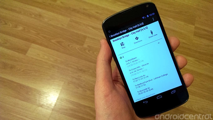
Google Maps -- on mobile and the web -- has been updated with fresh live transit data in three U.S. cities. The new data covers departure times for seven lines on the New York City subway, in addition to bus and tram data in the greater Salt Lake City area and service alerts for the Washington D.C. Metrorail.
As the new data is pulled from Google's servers, there's no app update to download -- just fire up the Google Maps app as you usually would, and the new live data will be available.
The addition of new data to Google's live transit database should also improve the functionality of Google Now, which pulls live public transportation data to Jelly Bean phones through its cards system.

Source: Google Lat Long blog

LATEST ARTICLES
