

In this weekly column, Android Central Fitness Editor Michael Hicks talks about the world of wearables, apps, and fitness tech related to running and health, in his quest to get faster and more fit.
The most popular smartwatches are great for casual turn-by-turn navigation with Google or Apple Maps. But for hikers who need detailed maps, trailhead data, SOS tools, and so on, it's difficult to find one perfect hiking watch that has everything.
You'll want to look at fitness smartwatches with the capability to download offline GPX maps or topographic maps for treks in remote areas with no cell coverage, along with other niche navigation tools. On the other hand, you may prefer a traditional smartwatch that offers cellular support in case your phone dies or access to third-party map apps like AllTrails that a typical fitness watch can't support.
Of course, your best option might not be a smartwatch at all. A handheld GPS like the GPSMAP 67i or a bike computer would give you a larger display and a UI centered on maps and navigation. But that's not my particular area of expertise, and the majority of non-cyclists want something compact and convenient for the trail.

Below, I'll break down some key smartwatch map tools to look out for and which of the best fitness watches support them. I won't go into major detail for every watch or feature, but this should hopefully give you a glimpse of where to start or which watch to buy.
GPX maps and custom courses

Ideally, you want a watch that (A) lets you create a custom course for turn-by-turn navigation during an activity and (B) lets you download third-party maps from apps or race organizations to follow offline. Either way, you get real-time data on where to go if you're hiking somewhere without service or want to avoid wasting your phone battery with 5G data use.
Garmin, Suunto, and COROS all support the option to import GPX files from other apps or create your own custom routes within each respective app. Just keep in mind that entry-level watches like the Forerunner 265 use "breadcrumb navigation," where a route appears on a blank space with no surrounding terrain for context. You need a higher-end model like the Forerunner 955 for a full map instead of a line.
Polar watches support Route Guidance from GPX files or past runs but don't have a method to create your own routes directly that I can find; you'll have to rely on Strava, Komoot, or another app.

Looking at more mainstream watches, the Galaxy Watch 5 Pro has a Routes tile for GPX files that you can upload through the Samsung Health app; other Galaxy Watches or Wear OS smartwatches have to rely on third-party apps to create and follow courses, with Komoot as your best bet.
Your Apple Watch Ultra 2 or Series 9 will also have to rely on a 3rd-party app like Komoot or WorkOutDoors to follow GPX files, unfortunately.
Speaking of Komoot, the mapping app has a direct partnership with Apple, COROS, Garmin, Polar, Samsung, Suunto, and a few other brands. So, if you're going to start building a database of routes to follow, you might as well do so through them instead of proprietary courses that you'll lose if you switch watches.
Topographic maps

Finding and downloading routes before each hike is a lot of work, and if you end up taking a different path, that GPX file won't help you get back to your starting point unless you intend to retrace your steps every time. The better option is to have pre-downloaded topographic maps for your region, country, or continent, so there's no chance of getting lost — and you're free to improvise and explore.
Garmin Forerunner 9XX, Fenix, or Epix watches come with topo maps preinstalled and the option to buy and download other packs if you're a world traveler. The Forerunner 965 or Epix 2 Pro gives you gorgeous AMOLED-quality maps that make details crisper, while an MIP Fenix 7 Pro or Forerunner 955 Solar will do better for battery life.
Plus, a Fenix or Epix watch gives you access to 43,000 golf course maps and 2,000 ski resort maps if you need something specialized for your sport. You can even pay for "Outdoor Maps+" for "premium contours and maximum detail" in your topo maps, plus satellite imagery and private land borders.
On the Suunto Race or Vertical, you go into the app and download topographic data for specific regions. You won't have the convenience of it already being there, but you can preemptively download all of Yellowstone Park (for example) ahead of your trip by circling that portion of the map without needing a specific route.
On COROS watches like the VERTIX 2 or APEX 2 Pro, you have 32GB of storage for landscape or topo maps for your continent of choice, though adding them involves connecting your watch to a computer. The same applies to the Polar Vantage V3, except that you'll need to use the Polar Flow desktop app to download them.
In most cases, you can only see a map during a GPS-tracked activity. Garmin does have a Map "activity" next to the other sports on some watches if you simply want to see your location without actual tracking.

On the traditional smartwatch side of things, Apple added topographic maps to watchOS 10 as part of its recent fitness push. On your iPhone 15 Pro Max (or any other model), you simply search for a location in Apple Maps, tap the Download option next to the Directions button, and then drag the map selection area to encompass that region.
Any maps on your phone will appear on your connected watch. I was frustrated to learn that you can't save topo maps to the Apple Watch independently of your phone in case it dies. In that case, you'll need to hope your Ultra 2 or Series 9 with LTE has a cellular signal to pull up the latest map data.
Unfortunately for Wear OS watch owners, Android phones don't even offer that kind of sync if you download offline maps in Google Maps. Even the Pixel Watch 2 lacks any topographic data or offline downloads, as Google's Fitbit integration focuses more on indoor workouts. Only the Suunto 7 was a good Wear OS option with maps for hikers, but it never made the jump to Wear OS 3.
That said, a lot of Android-using hikers recommend this third-party Maps app from Trackwear.io for topo downloads to your watch; you just can't see it in your typical workout app directly.
How to pick the best hiking smartwatch for you

With any hiking-friendly smartwatch, you can download a route or map and then use the touchscreen, crown, or buttons to zoom in and out for more useful context. You can also typically lay down waypoints along a route to return to later or reverse your route to go back to start.
While that's all very useful, that's about the extent of what most smartwatches can do for hiking. For some folks, that's enough, but if you want more in-depth mapping tools, Garmin has some tricks you'll appreciate.
On my Forerunner 965, map options like Around Me show relevant icons like nearby waypoints, landmarks, bathrooms, and so on. While on a course or trail, the Up Ahead view shows how long to go until the next turn or water stop, while the ClimbPro view shows an elevation map of upcoming hills and the average grade. And if you want to navigate to a spot you can see but can't reach — such as across a lake or unpaved valley — the Sight 'N Go tool creates a fixed compass point and then points an arrow in that direction at all times, so you can't get turned around.

This isn't to say that other brands lack their own hiking tricks. For example, Suunto's app has a heatmap showing popular hiking starting points and routes in your area, making it easy to choose or build your own. Polar's Elevation Profile tells you about upcoming hills, while Hill Splitter counts how many hills you've climbed and gives you a useful post-hike summary of how well your endurance and speed held up over time. And Apple's Maps are more likely to have useful and up-to-date points of interest if you're hiking in more civilized areas.
Overall, you have plenty of good options, and you may want to prioritize your favorite brand even if it's not as robust as Garmin for hiking software. Some hikers even choose the "dumber" Garmin models like the Instinct 2X Solar with no maps at all, simply because battery life is more important to them. It's a matter of preference and priorities.
What other factors to consider when picking a hiking watch
It goes without saying that regardless of the brand, you want a hiking watch with long battery life, accurate GPS tracking, a compass for turn-by-turn navigation, and an altimeter to measure elevation gain and loss.
If you're more of a day hiker, dual-frequency GPS ensures you're less likely to deal with signal loss from foliage or nearby mountains. For multi-day adventurers, you should look at battery-saving modes that track GPS less frequently to extend the lifespan, or at watches with solar panels.
Plus, of course, some smartwatches are more accurate than others for elevation data. For reference, I recently climbed a summit trail wearing five smartwatches to see which brands I could trust.
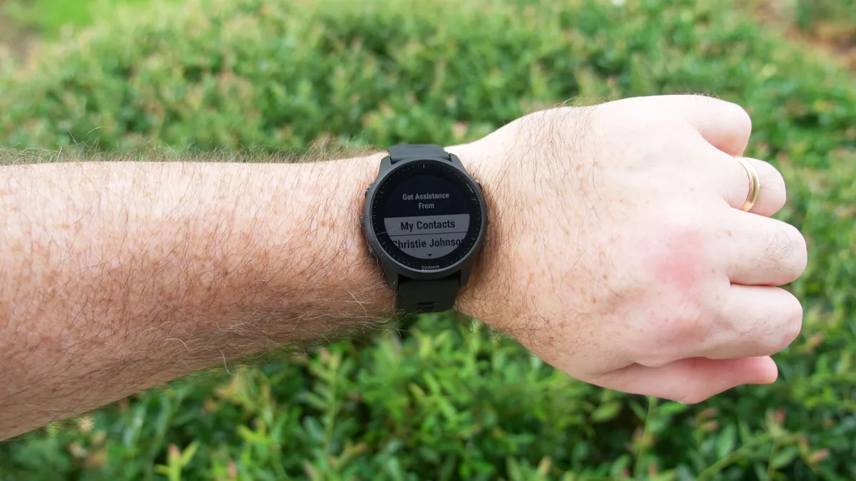
Another factor to consider is emergency/safety features. You should double-check if your watch has fall detection, the ability to message emergency contacts or call 911, or the ability to let family follow your progress in real-time via GPS data. Garmin would be a clear choice, except that only the last-gen Forerunner 945 LTE has cellular support, making the rest dependent on your phone to relay data. Thus, you might prefer an Apple, Google, or Samsung watch with independent cellular added for safety instead.
Finally, you'll want to pay attention to durability and weight. Some of the high-end Garmin watches with the best mapping tools also weigh much more because of the steel or titanium materials. This makes them more likely to survive a fall but also more burdensome on your wrist for a long hike.

