Google Maps expands Street View to more places and launches a time machine
Maps and Earth pick up some interesting updates for traveling and educational purposes.

Get the latest news from Android Central, your trusted companion in the world of Android
You are now subscribed
Your newsletter sign-up was successful
What you need to know
- Google detailed a few updates preparing to arrive for Google Maps, like an expansion of Street View and sharper satellite imagery thanks to AI.
- Google Maps users will find improved Street View imagery for nearly 80 countries.
- Those in Google Earth on the web will soon experience "historical imagery," which lets users go back roughly 80 years to see how the planet and cities have changed.
Google is preparing a few updates for Google Maps and Google Earth that may help users understand the ever-changing world.
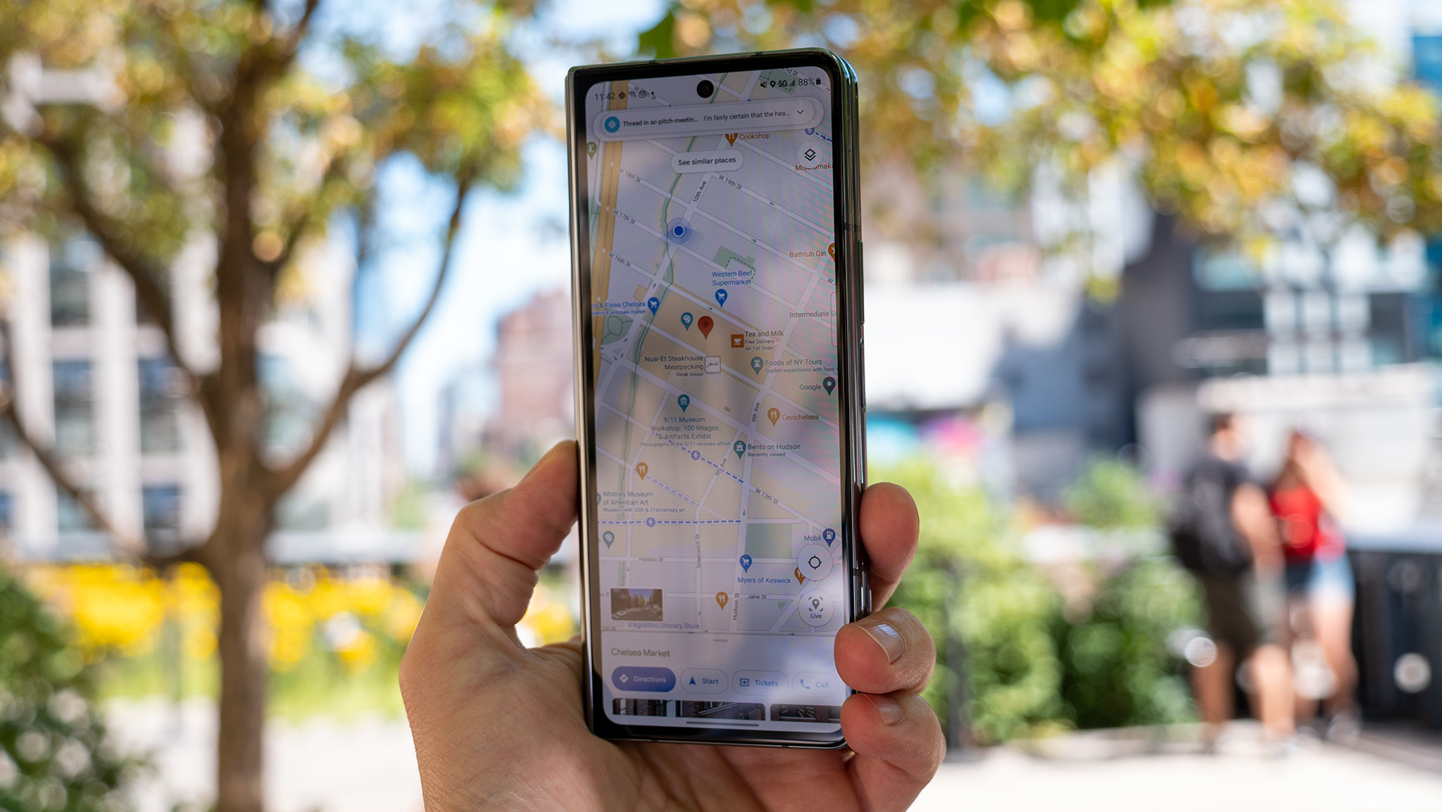
Kicking off the changes is an update to Street View on Google Maps. The company detailed in a Keyword post that users can expect to find "new imagery" in nearly 80 countries. This expansion in Google Maps brings better virtual adventures to places like Bosnia, Nambia, Liechtenstein, Paraguay, and more.
The company's cars and trekkers were stated to utilize a new camera technology, which it first revealed in 2022. With the ability to mount on any vehicle, Google states it's made creating better Street View imagery a breeze in more places. The company will continue to update Maps' Street View for better virtual insight into countries like Australia, Argentina, Brazil, Costa Rica, the Philippines, and more.
The Street View expansion launched on September 25, meaning users should keep their eyes peeled.
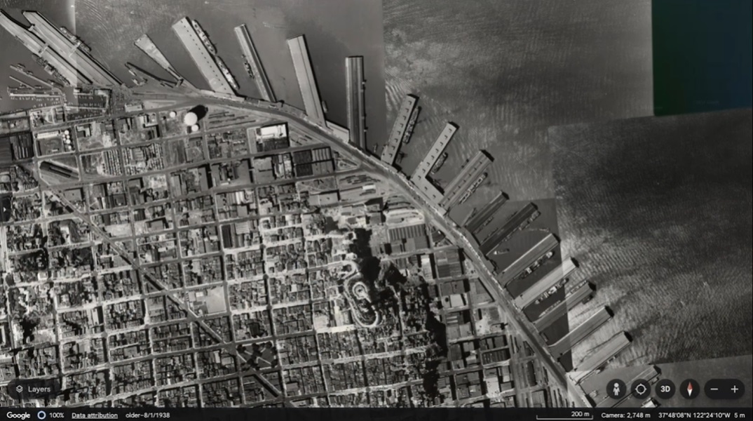
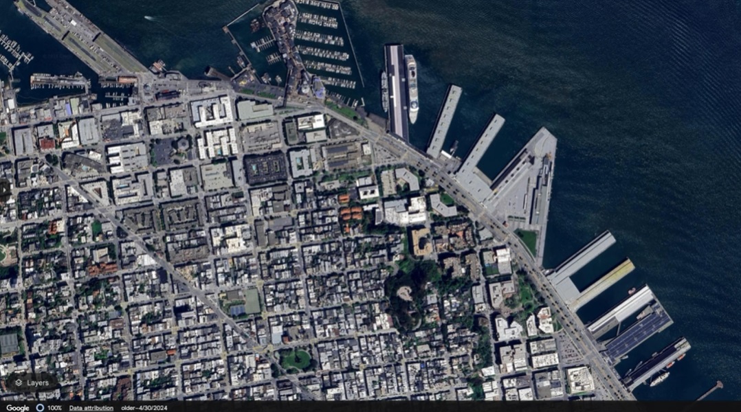
Google's update also focuses on Google Earth. The company states its users will soon have an easier time turning back the clock on a portion of the planet. A new "historical imagery" feature will soon become available on Google Earth's web version.
Users will find around 80 years of stored "satellite and aerial imagery" of the planet's geography to understand the changes it experienced. While 80 years ago from 2024 pits us in the 1940s, Google states some places will send you back to the 30s — like London, Berlin, or Paris.
Alongside this update for users, Google states researchers and companies will soon gain custom map creation. Projects will also be displayed directly on the Google Earth homepage to improve collaboration efforts.
Get the latest news from Android Central, your trusted companion in the world of Android


Lastly, images viewed in Google Maps and Earth will benefit from sharper quality, courtesy of AI. The post states users can expect to see sharper imagery in both apps "this week" due to its Cloud Score Plus AI. The software can better recognize clouds, mist, fog, and haze while keeping the earth's weather patterns consistent.
Over the summer, Google rolled out a major U overhaul for Android users that brought a "sheet-based" style. This new style gives users more agency over the information they see on their display to ensure they don't miss what's important. Of course, Google plans to plug more AI into Maps to assist with finding locations with pre-made questions and the option to write your own.
Other updates like wildfire alerts arrived in July for Maps and Search. The feature piggybacks off satellites and Google's AI models to display the range and intensity of a wildfire so users can get to safety in time.

Nickolas is always excited about tech and getting his hands on it. Writing for him can vary from delivering the latest tech story to scribbling in his journal. When Nickolas isn't hitting a story, he's often grinding away at a game or chilling with a book in his hand.
You must confirm your public display name before commenting
Please logout and then login again, you will then be prompted to enter your display name.
