Google Maps update brings a useful tweak to Android Auto 3D building view
A simple change that goes a long way.

Get the latest news from Android Central, your trusted companion in the world of Android
You are now subscribed
Your newsletter sign-up was successful
What you need to know
- Google Maps on Android has received a beta update that lets users sync their 3D building view on a phone with their Android Auto consoles.
- The sync only works before connecting to a vehicle, meaning users can toggle it on or off and the AA console will reflect that change.
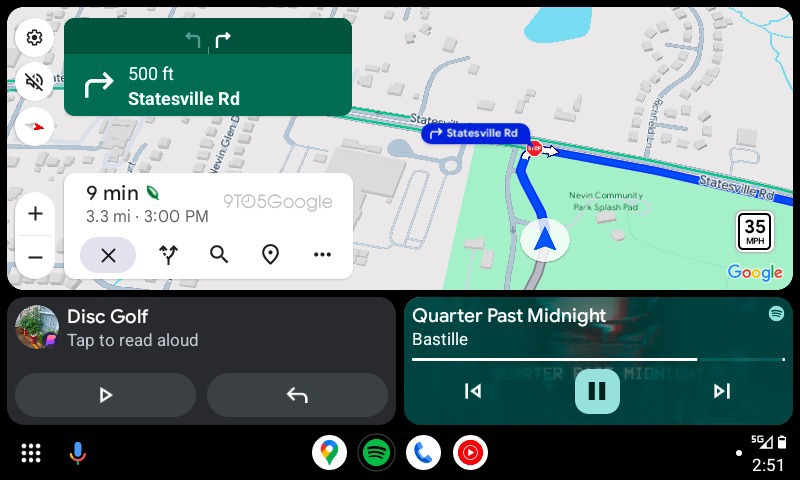
- Google Maps rolled out 3D building view on Android Auto for navigational purposes by default in February.
Google is pushing out a beta update for Maps that brings better synchronicity between Android phones and Android Auto consoles.
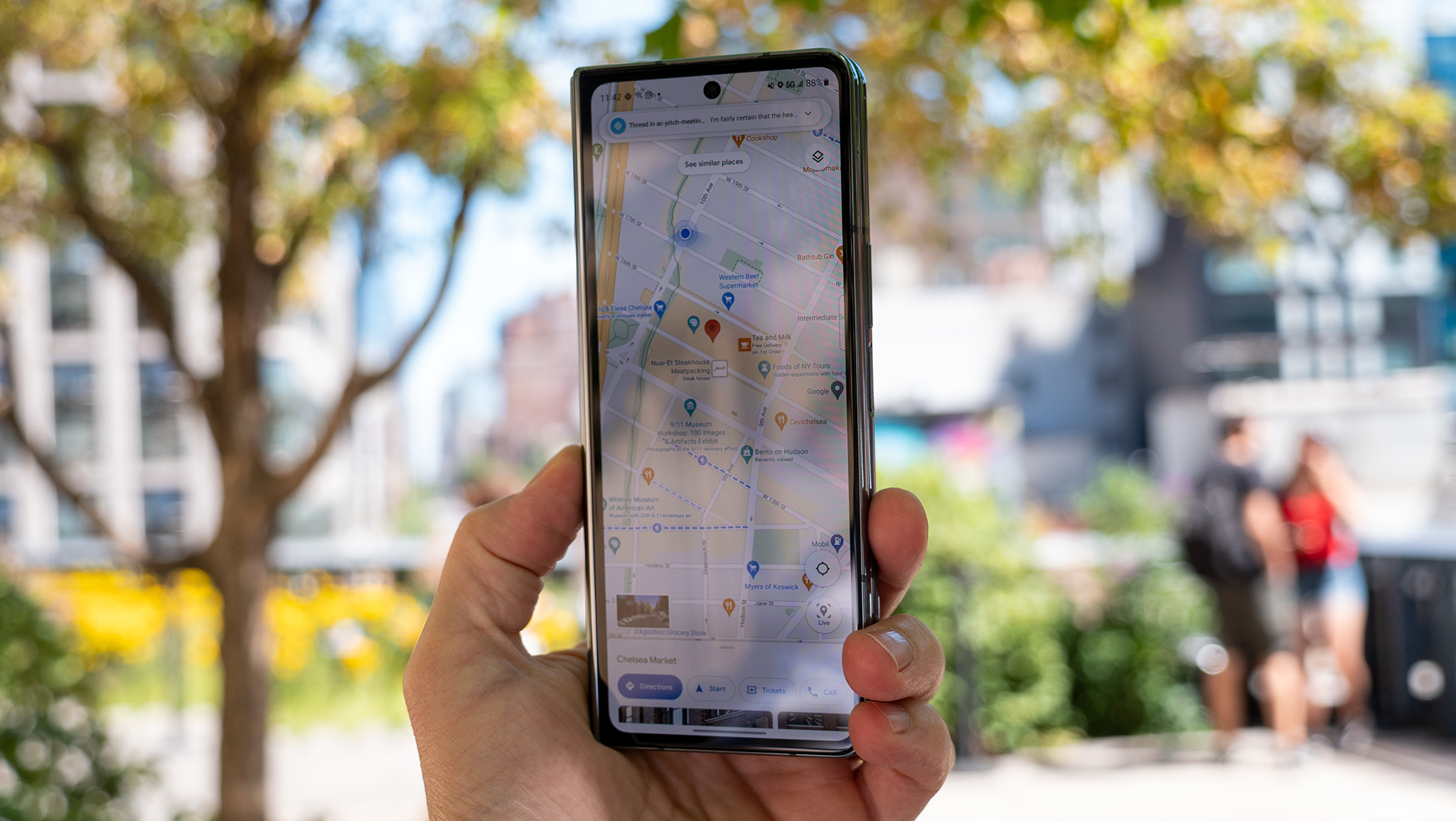
As spotted by 9to5Google, version 125 of Google Maps, which is arriving in beta, sports a change to its "Show 3D Buildings" toggle that syncs it with Android Auto. It's important to note that the setting will only sync from phone to console if it's toggled on (or off) before users establish a connection with their vehicles.
The beta shows that toggling on 3D buildings during navigation on Maps for Android will now enable the visual setting on Android Auto. This removes the necessity for users to have it on in one place and then have to dive into AA's settings to produce the same effect.
If the 3D buildings were enabled during startup, testing shows that users can toggle it off on their Android phone without disrupting their vehicle's console. Moreover, the rate at which the synchronization works between Android and Android Auto seems much more stable.
With the small change spotted in beta, it's unclear how long it will take Google to roll this out properly to all users. Users can still manually control the 3D buildings toggle manually through their Android Auto displays if they choose.

Google Maps rolled out 3D buildings during navigation for Android Auto displays in February, which should aid users when traveling to new cities. The visual aid was always present in Maps, however, it was only during simple map exploration sessions. With it available by default during navigation, users can find their way better in cities that support the visual aid.
The feature's arrival only works with light mode in Google Maps. Swapping to dark mode makes the useful models disappear. It wasn't always like this, so it's a little odd that Google removed it once it arrived two months ago in a stable fashion.
Get the latest news from Android Central, your trusted companion in the world of Android

Nickolas is always excited about tech and getting his hands on it. Writing for him can vary from delivering the latest tech story to scribbling in his journal. When Nickolas isn't hitting a story, he's often grinding away at a game or chilling with a book in his hand.
You must confirm your public display name before commenting
Please logout and then login again, you will then be prompted to enter your display name.
