
Google Earth's Timelapse feature made its debut in 2013, offering a wealth of satellite imagery data from 1984 to 2012. The feature picked up a comprehensive update today, with Google adding four additional years of imagery and petabytes of high-resolution data from Landsat and Sentinel-2A satellites, giving us a "sharper view of our planet." Google combined 5 million images — sifting through three quadrillion pixels — to create "33 cloud-free annual mosaics, one for each year from 1984 to 2016."
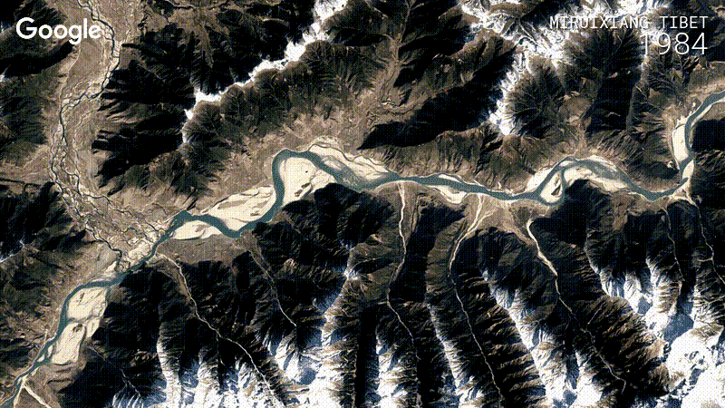
The result is a set of zoomable and pannable timelapses that give us a glimpse at how the world has evolved over the last three decades. You can see glaciers melting away, entire cities being constructed from the ground up, rivers being rerouted, and so much more. Google also made a 40-minute YouTube playlist that serves up highlights from locations around the globe.


